This is an experiment, a trip report I posted previously on SOTP. I want to see if all the pictures blow your server. Moderators feel free to delete the report if it strains your resources.
Often at this time of the summer we drive from Atlanta to Boston to visit a friend. We take the canoe, and drive NE on Interstate 81, just west of the Appalachian Blue Ridge. Three years ago on June 20, we turned aside to Antietam Creek. Antietam would be classed as a piedmont rather than a mountain stream, running through the remaining roots of the eroded Appalachians.
The deadliest single day battle of the Civil War (also known as the War of Northern Aggression) was fought along Antietam Creek, near the town of Sharpsburg, Maryland. The Union army under McClellan, and the Confedrate army under Lee, numbered 75,000 and 38,000, respectively. The casualties compare to those of the Battle of Waterloo, adjusting for the smaller size of the forces. McClellan, in spite of some mistakes, could have and should have won, but he was so concerned with not losing that the result was a stalemate. Calling it a victory, Lincoln soon wrote the Emancipation Proclamation, assearting that slaves in the Confederate states were free.
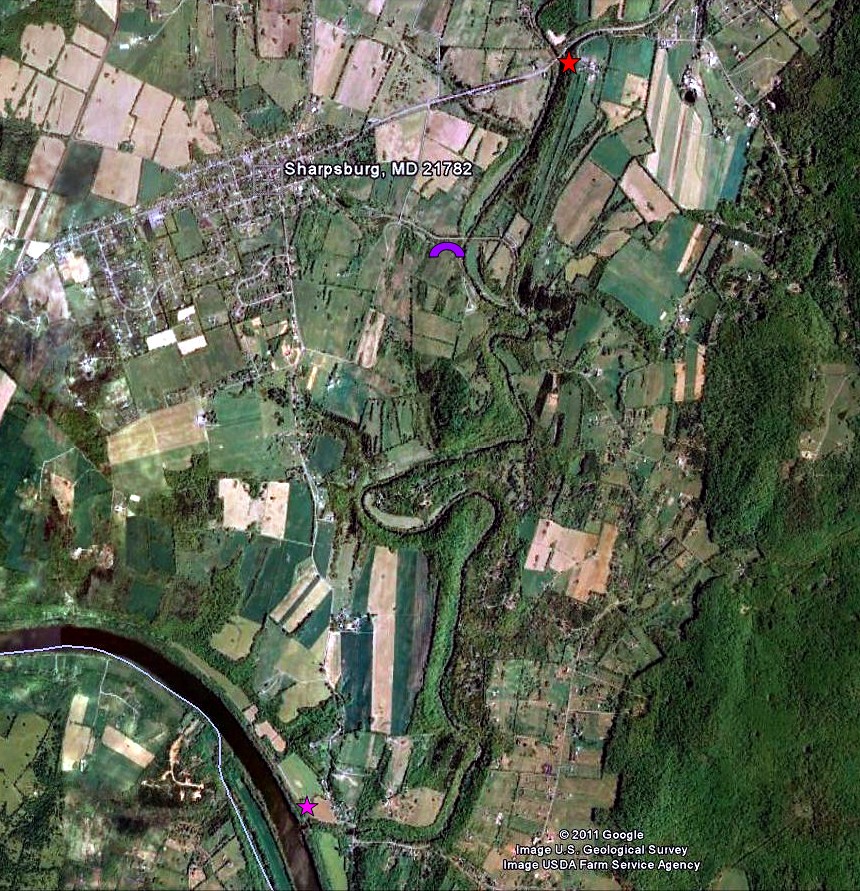
This map shows the piece of Antietam Creek that I ran, from the upper star on hwy 34 to the magenta star at the Potomac River take out. Burnside Bridge, site of some of the most savage fighting, is indicated.
twoAntietam by ezwater, on Flickr
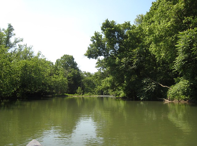
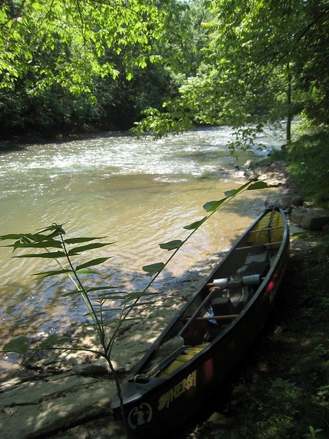
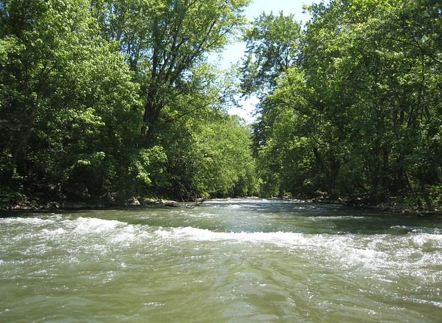
Looking back toward the hwy 34 put in.
IMG_0013 by ezwater, on Flickr
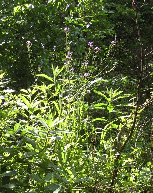
A shrubbery.
IMG_0014 by ezwater, on Flickr
Canadians re-enacting the Battle of Antietam.
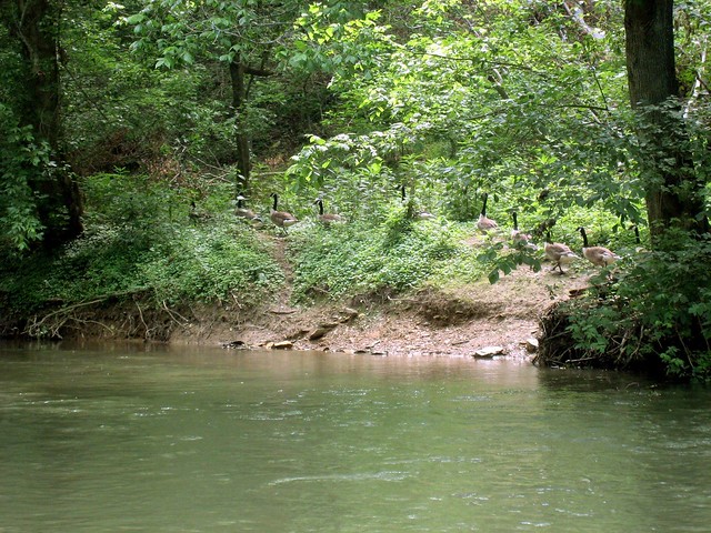
IMG_0016 by ezwater, on Flickr
The Burnside Bridge, renamed for the Union general who repeatedly tried to force a crossing.
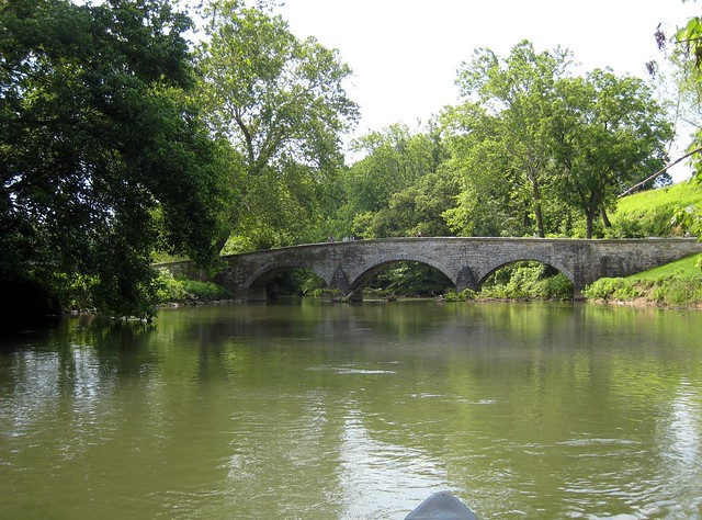
IMG_0018 by ezwater, on Flickr
The Confederate forces, on the heights to the west, were able to hold off the Union advance even with markedly inferior forces.
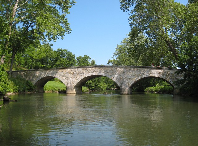
IMG_0023 by ezwater, on Flickr
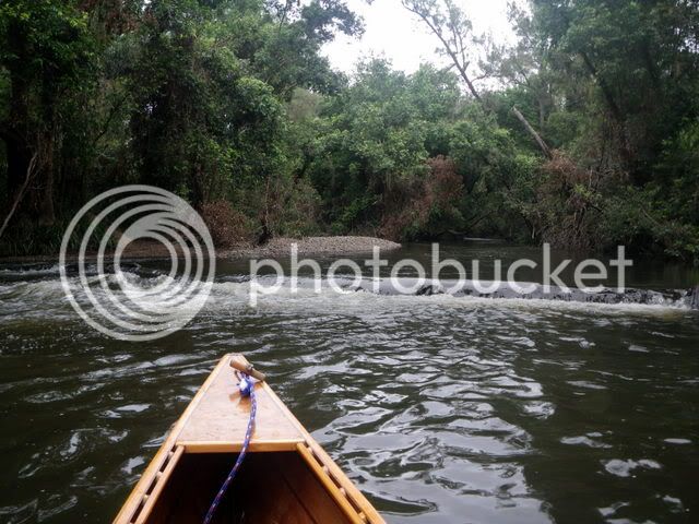
A weir just a bit downstream. Side surfing not recommended. It looks easy, but may flip you upstream and bash your brains on the ledge.
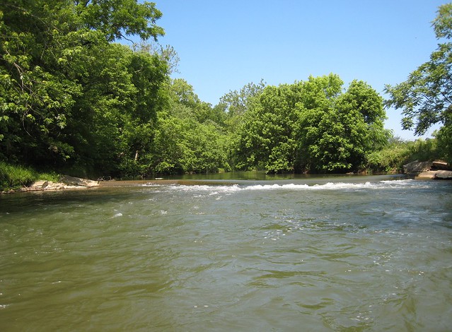
IMG_0025 by ezwater, on Flickr
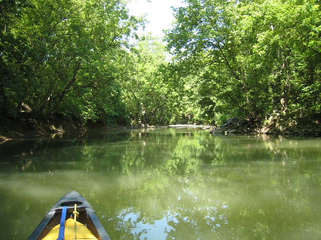
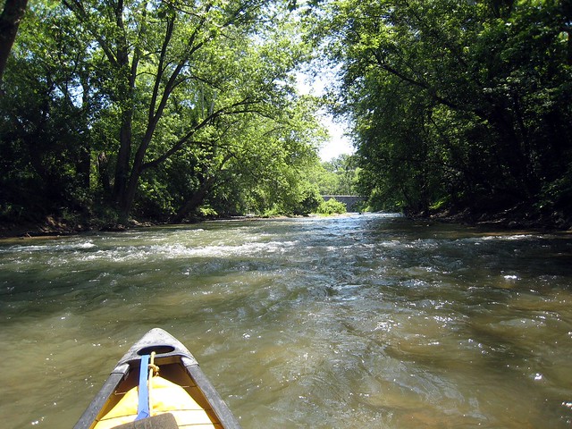
Heading downstream.
IMG_0026 by ezwater, on Flickr
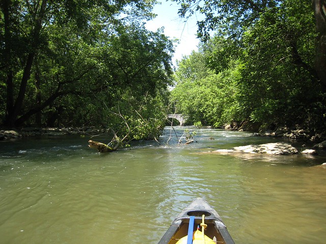
Little shoals here and there.
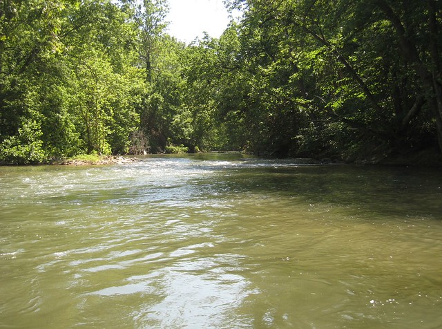
IMG_0027 by ezwater, on Flickr
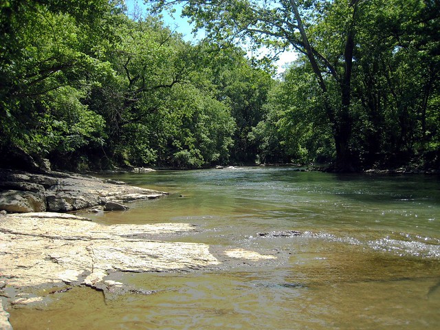
A ridge rises to the west of the creek.
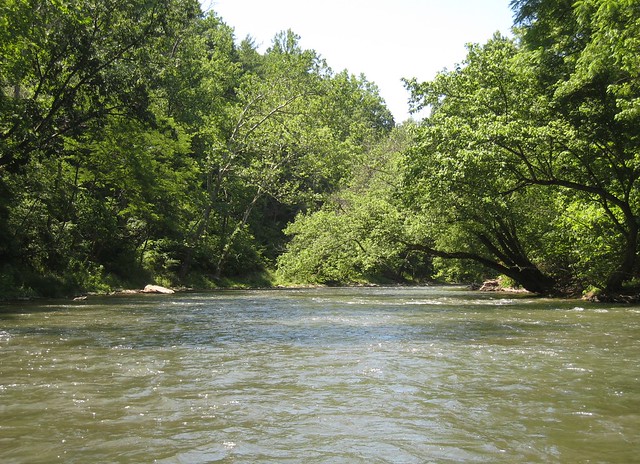
IMG_0028 by ezwater, on Flickr
Antietam cuts deeper as it nears the Potomac.
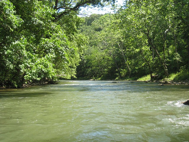
IMG_0029 by ezwater, on Flickr
Taking a break.
IMG_0031 by ezwater, on Flickr
IMG_0034 by ezwater, on Flickr
Bedrock appears.
IMG_0035 by ezwater, on Flickr
A class 1-2 above a country road bridge is complicated by wood.
IMG_0036 by ezwater, on Flickr
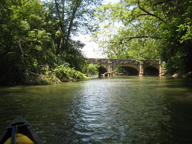
Looking upstream from just above the bridge.
IMG_0038 by ezwater, on Flickr
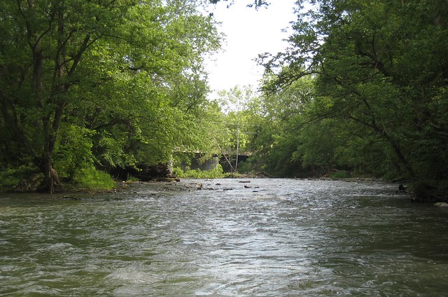
The country road bridge from downstream. The ledges are oriented NNW as is typical for the Appalachians.
IMG_0039 by ezwater, on Flickr
This is an old aquaduct that once carried canal traffic. The canal ran along the Potomac River from Washington DC upstream into the Appalachians, and before the coming of railroads, was a major conduit for trade between eastern and western states.
IMG_0040 by ezwater, on Flickr
The take out is not on Antietam Creek, but rather just upstream from the mouth of Antietam on the Potomac, on National Park Service land.
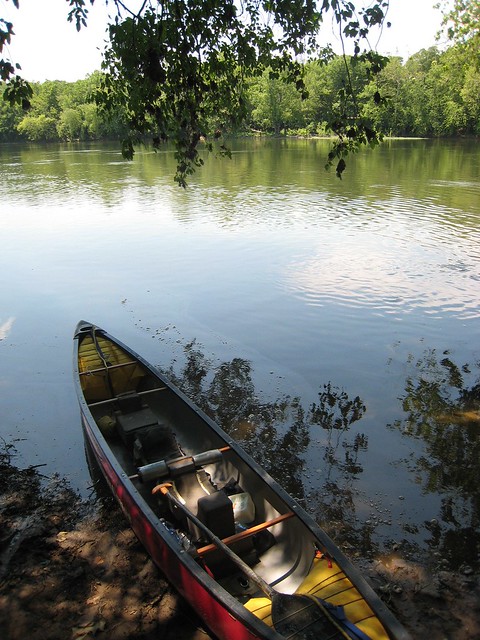
IMG_0041 by ezwater, on Flickr
There's a lot more of Antietam to run upstream, but you'd have to choose between that and many other good paddling opportunities in the area.
Often at this time of the summer we drive from Atlanta to Boston to visit a friend. We take the canoe, and drive NE on Interstate 81, just west of the Appalachian Blue Ridge. Three years ago on June 20, we turned aside to Antietam Creek. Antietam would be classed as a piedmont rather than a mountain stream, running through the remaining roots of the eroded Appalachians.
The deadliest single day battle of the Civil War (also known as the War of Northern Aggression) was fought along Antietam Creek, near the town of Sharpsburg, Maryland. The Union army under McClellan, and the Confedrate army under Lee, numbered 75,000 and 38,000, respectively. The casualties compare to those of the Battle of Waterloo, adjusting for the smaller size of the forces. McClellan, in spite of some mistakes, could have and should have won, but he was so concerned with not losing that the result was a stalemate. Calling it a victory, Lincoln soon wrote the Emancipation Proclamation, assearting that slaves in the Confederate states were free.
This map shows the piece of Antietam Creek that I ran, from the upper star on hwy 34 to the magenta star at the Potomac River take out. Burnside Bridge, site of some of the most savage fighting, is indicated.
twoAntietam by ezwater, on Flickr
Looking back toward the hwy 34 put in.
IMG_0013 by ezwater, on Flickr
A shrubbery.
IMG_0014 by ezwater, on Flickr
Canadians re-enacting the Battle of Antietam.
IMG_0016 by ezwater, on Flickr
The Burnside Bridge, renamed for the Union general who repeatedly tried to force a crossing.
IMG_0018 by ezwater, on Flickr
The Confederate forces, on the heights to the west, were able to hold off the Union advance even with markedly inferior forces.
IMG_0023 by ezwater, on Flickr
A weir just a bit downstream. Side surfing not recommended. It looks easy, but may flip you upstream and bash your brains on the ledge.
IMG_0025 by ezwater, on Flickr
Heading downstream.
IMG_0026 by ezwater, on Flickr
Little shoals here and there.
IMG_0027 by ezwater, on Flickr
A ridge rises to the west of the creek.
IMG_0028 by ezwater, on Flickr
Antietam cuts deeper as it nears the Potomac.
IMG_0029 by ezwater, on Flickr
Taking a break.
IMG_0031 by ezwater, on Flickr
IMG_0034 by ezwater, on Flickr
Bedrock appears.
IMG_0035 by ezwater, on Flickr
A class 1-2 above a country road bridge is complicated by wood.
IMG_0036 by ezwater, on Flickr
Looking upstream from just above the bridge.
IMG_0038 by ezwater, on Flickr
The country road bridge from downstream. The ledges are oriented NNW as is typical for the Appalachians.
IMG_0039 by ezwater, on Flickr
This is an old aquaduct that once carried canal traffic. The canal ran along the Potomac River from Washington DC upstream into the Appalachians, and before the coming of railroads, was a major conduit for trade between eastern and western states.
IMG_0040 by ezwater, on Flickr
The take out is not on Antietam Creek, but rather just upstream from the mouth of Antietam on the Potomac, on National Park Service land.
IMG_0041 by ezwater, on Flickr
There's a lot more of Antietam to run upstream, but you'd have to choose between that and many other good paddling opportunities in the area.